Mapit Surveyor - toolbox for the surveyor, engineer & architect
Mapit Surveyor is created in close cooperation with the surveyor company Mølbak, and is targeted at work areas where full access to targeted relevant information is an absolute necessity.
We have put together a unique collection of data that we believe makes a big difference in information retrieval and visualization. Data is categorized in a new and more innovative way to make searching easier.
Try Mapit Surveyor FOR FREE for 30 days
Sign up using the form below and get access
to Mapit Surveyor and see for yourself if it meets your expectations
Access to all properties in Denmark
Search property data on over 2 million properties
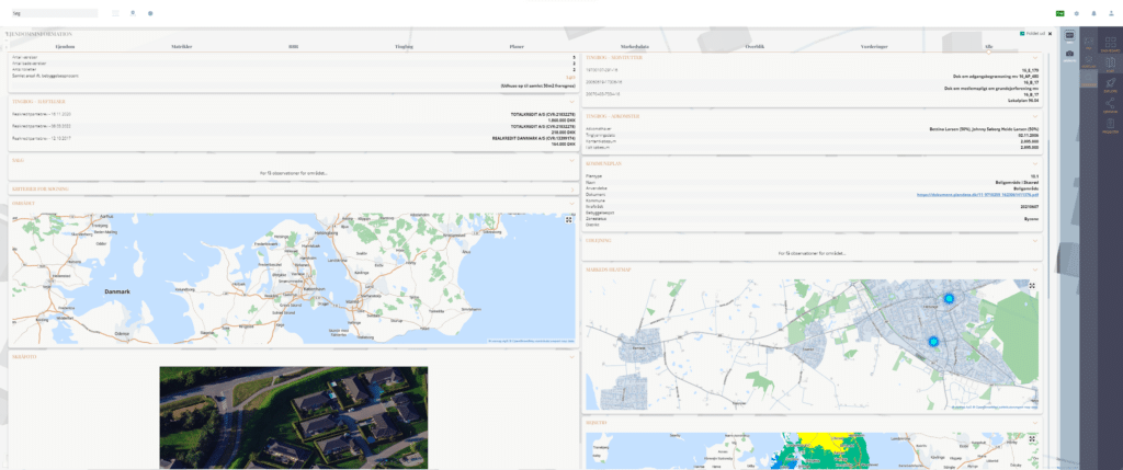
Registration data | Encumbrances | Servitudes
View registration data on over 2 million properties
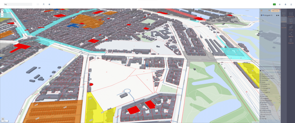
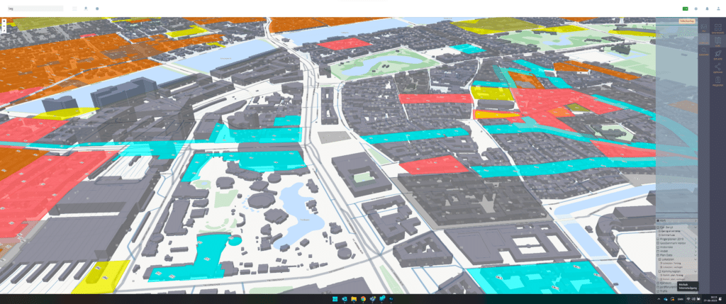
Intelligent data visualization on maps
Build your own overview by turning on/off the built-in map layers, or mix map layers with your own data via intelligent import function
Load your own datasets and polygons
Smart import feature where multiple formats can be dragged directly into the solution - including GeoJson, Xls and CSV
Oblique photo
See an archive of oblique photos of all properties in Denmark, taken from all corners of the world. New photos approx. every 2 years
POI data - Point of interest
Shopping | Trains | Metro | Light Rail | Hospital | Doctor | School | Daycare

Fill out the form and try Mapit Surveyor FREE for 30 days
Unlimited access to data on over 2 million properties
Access to a large catalog of map layers selected specifically for the surveyor, architect and engineer
Visualize your company’s own data and merge it with data from public registers in an easy and simple way
Display your data on vector maps or orthophotos/ aerial photos and share the information via a link to internal or external users for free
about MAPIT surveyor
Mapit Surveyor has an incredible range of data/map layers. Here’s an overview of some of them

PROPERTY INFORMATION
Property, Cadastral parcels, BBR, Land registry, Plans, Assessments

Background map
Choose between vector maps or orthophotos/aerial photos

Aerial photo
Latest aerial photos of over 2 million properties in Denmark and access to an archive of historical aerial photos.

historical background maps
Topographic Maps 1980-2001 | Topographic Maps (1953-1976) | Low Ordnance Survey Maps 1901-1971 | High Ordnance Survey Maps 1842-1899 | Prussian Ordnance Survey Maps - 1920

PRESERVATION AND CULTURAL PROTECTION
Preservations (Provst Exner) | Preservation Orders | Preserved Areas - Proposals | Preserved and preservation-worthy Buildings | Preserved Ancient Monuments | Finds database

Plan data
Municipal plans | Local plans | Landscape directives | Transport corridors | Zone status | Land zone permits | Utilities Impact zones | The finger plan 2019 (urban plan)

cadastral map
Flader | Polyline | Points

Roads & Paths
Traffic figures | Road classification | Construction lines and crossings | Superbike lanes

Climate data and elevation models
Height curves | DTM Shadow map | Hydrological Height Model | Precipitation DHM 2007

Construction and protection lines
Church building lines | Forest building lines | Coastal proximity zones | Lake protection lines | Water protection lines | Protected Watercourse | Protected Nature Types (§3) | Protected Rock and Soil Dikes |Natura 2000 | Bird Protection Areas | Nature 2000 Habitat Areas | Ramsar Sites | High Nature Value | Action Areas | Nature/Wildlife Reserves

Addresses and Administrative Boundaries
Regional boundaries | Municipal boundaries | Place names | Road names | Addresses/House numbers | Parishes | School districts | Postal districts | Property ownership

Rail, Metro, Light rail
Tracks incl. Track number | Switches incl. label | Mile markers incl. label | Catenary masts | Wells | Fixed points incl. label | Fixed markings incl. label

Energy and transmission networks
Electricity Main Transmission Grid | Gas Main Transmission Grid | Offshore Wind Farms

Hydro
Drinking water wells | Borehole protection areas | Areas with drinking water interests | Sensitive catchment areas | Boreholes

and so much more...
Contact us for a detailed list of map layers
Which businesses is Mapit Surveyor designed for?
The software is developed in collaboration with the surveyor company Mølbak, and specifically designed to solve the needs of:

The land surveyor
The surveyor
The engineer
The Architect
Highlighted features in Mapit Surveyor

Map layers – work visually with dMap layers – work visually with data
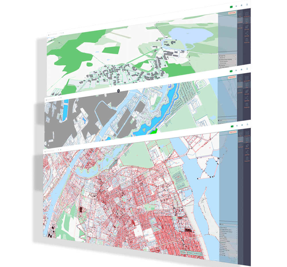
Mapit Surveyor makes it easy to work with data on a vector map.
Turn on relevant map layers and view one or more properties at the same time.
Property data in a new way
Work multiply with property data. Enter one or more addresses and access data from BBR, Tinglysningen, Planning etc.
Data is presented in a very user-friendly way directly in your browser.


Mix data in an innovative way
With Mapit Surveyor, you can blend your own data with all available map layers, aerial photos and public records.
It makes it easy to visualize projects and frees up significant time in the research phase.
It’s never been easier to do analytics and share the results with stakeholders.
About Mapit surveyor
In close collaboration with Landinspektørfirmaet Mølbak, we have created the Mapit Surveyor platform, which is tailored to solve tasks for data-intensive companies. The platform contains industry-specific data & map layers organized in an innovative and user-friendly way.
Behind the tool is years of experience with public data, map technology and advanced data sources.
Take a look at Estate Explorer and Mapit Lookup

