Mapit map layer list
Get Mapit 30 days free trail New Mapit layer list In addition to beach protection lines, protected forest and registered road areas are new fixed layers that can be chosen to be shown on maps with Mapit: Property Information: Owner and usage Heating methode Borders, sea and land: National borders on land 12 nautical miles […]
Mapit property information
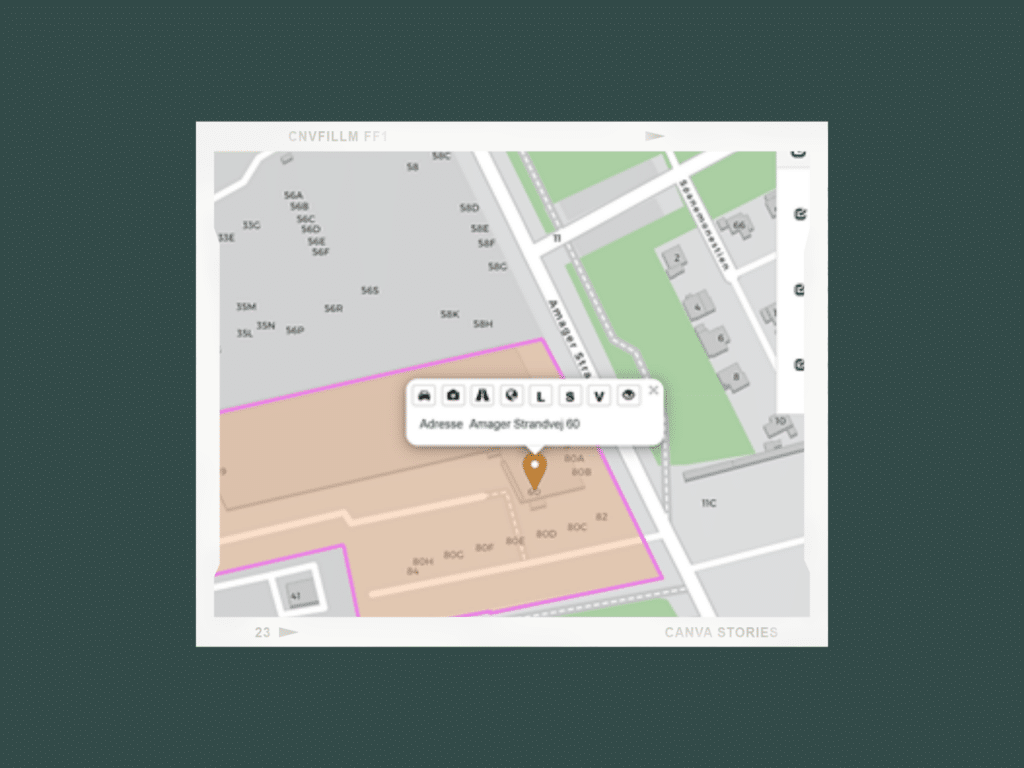
To access property information, you can either search for an address or put a point on the map, and then click on the point. The property information is then obtained by clicking on the icon (eye) on the far right of the icon menu. In addition to general property information, the Mapit property information also […]
Mapit measuring tool
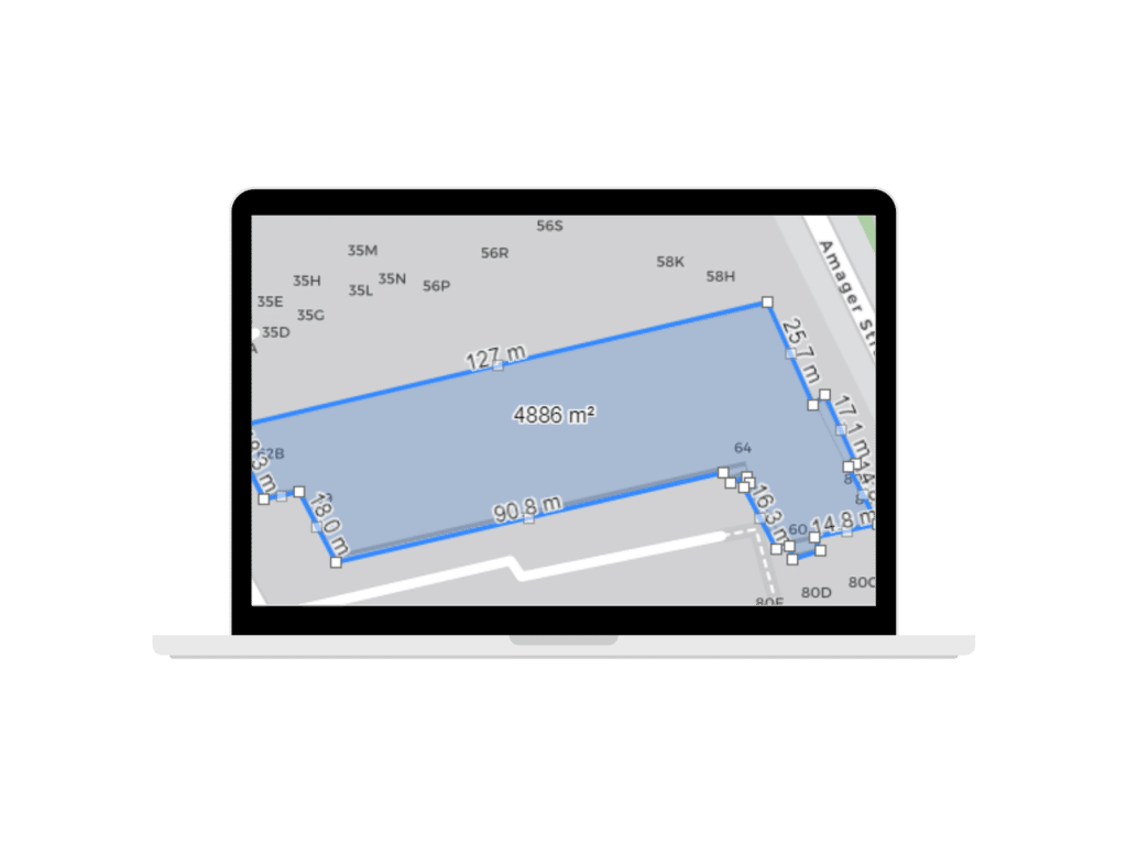
During the testing period, our users have used Mapit to measure base sizes of properties, distance from building to property boundaries or neighbor or building line. Mapit can also be used for measuring the construction area at new construction sites and for rapid control of built-up areas or BBR area (the officially recorded area). HOW […]
New Mapit feature: soil contamination
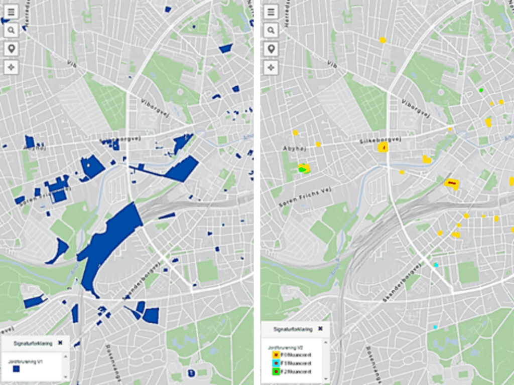
Mapping soil contamination Soil contamination is probably one of the things we can all agree about, that we do not want to find – at least not on our own property. And overall, there is probably an agreement of getting rid of it as fast as possible, which is quit a enormous task. One thing […]
Rune maps truffle spots in Denmark
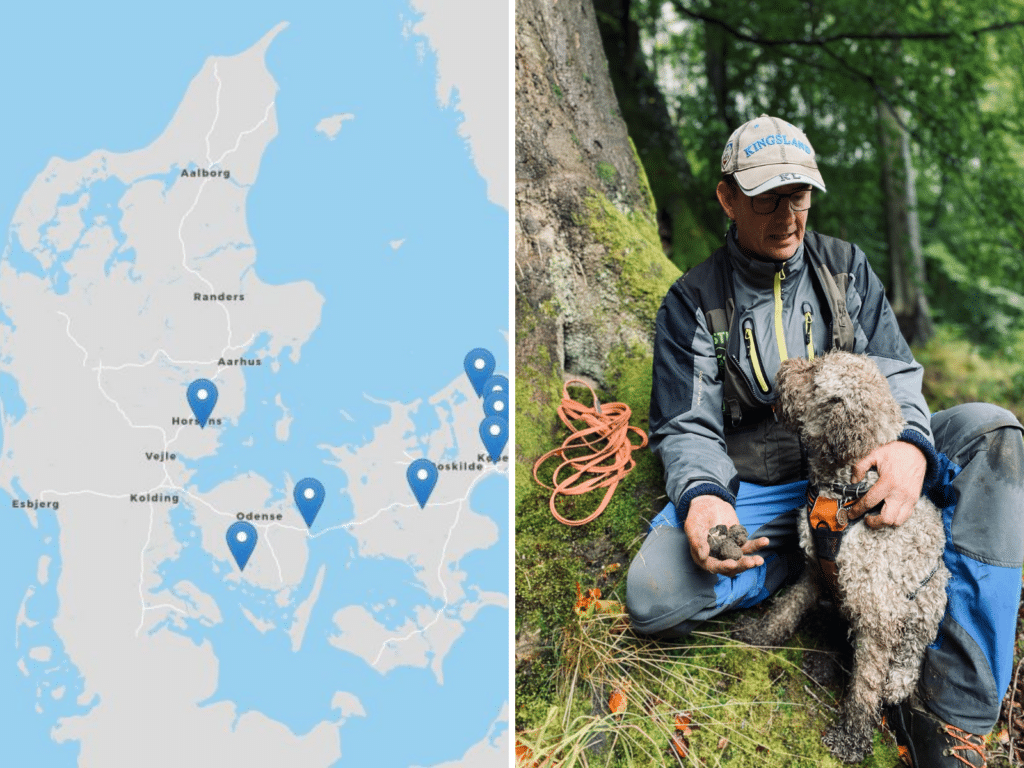
It sounds almost too good to be true, but it is! Rune Richtendorff and his dog Asti go hunting for the black gold of the Earth: truffles. And it’s a great success. With miles travelled on foot and paw, the truffle hunters’ result last year was more than 300 truffles, which were then enjoyed by […]
