MAP DEMOS

Viamap develops smart map solutions. It’s not the only thing we do and can do. Denmark has a unique collection of publicly available data with high validity. We’ve collected and packaged this data so it’s easily accessible via API. See demos and references of our map solutions:

VEKTORDEMO

Vector map shown in 3D, hillshade,
from above (aerial photo)
Or take the grand sightseeing tour

How far is it

Here’s an example of the popular widget: how far is it (hvorlangterder.dk)

Aeriel Photo

See it all from above – aerial photos in several variants.

DANBOLIG

See how a customer uses our map solution

See how a customer uses our map solution

AREA BINDING MAP

See an example of using area binding map in Mapit.

what you can do in Mapit

Get a Mapit guide

oblique photos

See Fishing in Denmark’s use of oblique photos to visualize all Danish fishing spots
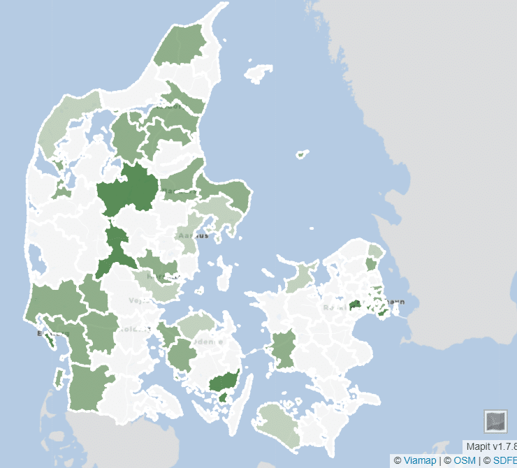
Dansk Skoleidræt

Dansk Skoleidræt

Mapping the “sports health” of Danish and South German municipalities on a Mapit map